

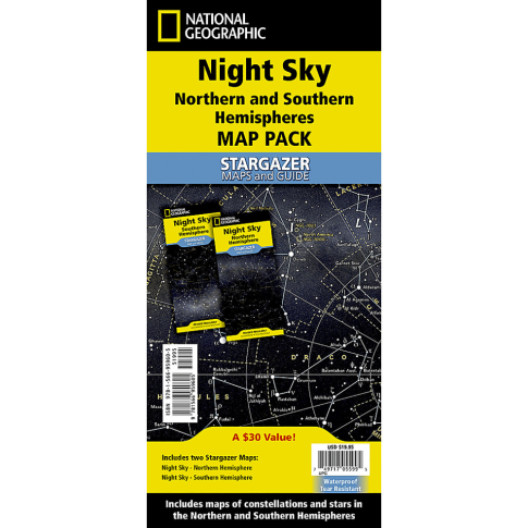
National Geographic Night Sky, Stargazer Map Pack Bundle, Folded: 4.25in x 9.25in, Flat: 25.25in x 18.5in MPN:NGMRE01021310B
Discount: See in Cart
Free Shipping
In Stock
Free Shipping
In Stock
SKU
312-2393315
National Geographic Night Sky, Stargazer Map Pack Bundle, Folded: 4.25in x 9.25in, Flat: 25.25in x 18.5in MPN:NGMRE01021310B
Explore the night sky like never before with the National Geographic Night Sky, Stargazer Map Pack Bundle. This comprehensive guide features two maps, one for the Northern Hemisphere centered on Polaris and one for the Southern Hemisphere near Crux, with labeled constellations and star magnitudes. Four seasonal charts for each hemisphere allow you to track the changing stars throughout the year. Perfect for backyard stargazing, classroom study, or educational projects, this durable, waterproof map pack is ideal for anyone fascinated by the night sky. Use it to spark curiosity and inspire a love of astronomy in yourself and others.
Top product features:
- The product includes four seasonal charts that are specific for each season: spring, summer, autumn, and winter.
- The maps are printed on durable synthetic paper, making them waterproof, tear-resistant and tough.
- The constellations and brighter stars are labeled with their Latin names.
Top product applications:
- Astronomy Education
- Classroom Study
- Backyard Stargazing
The Night Sky - Stargazer Map Pack contains two maps, the Northern Hemisphere is centered on Polaris, the North Star, the Southern Hemisphere is centered near Crux, the Southern Cross. The constellations and brighter stars are labeled with their latin names. The map also includes a table of star magnitude or brightness. As the Earth moves in its orbit around the Sun the constellations in the sky change. The Night Sky maps include four seasonal charts that are specific for each season: spring, summer, autumn, and winter. The Stargazer Map and Guides are the ideal resource for exploring space from the comfort of your back yard, and perfect for classroom study! Night Sky Map Pack includes: Night Sky - Northern Hemisphere and Night Sky - Southern Hemisphere. Every Stargazer Map is printed on durable synthetic paper, making them waterproof, tear-resistant and tough - capable of withstanding the rigors of repeated outdoor or classroom use. Measures 4.25in x 9.25in folded and 25.25in x 18.5in flat.
Additional Information
- Country of Origin: US
- UNSPSC Code: 60101721
- UNSPSC Commodity: Professional teacher resource books
- Green: No
- Recycled Content: FALSE
- Hazardous: No
- Prop 65: No
- MSDS URL: nan
- Package Length: 11.00
- Package Width: 5.00
- Package Height: 0.25
- Package Weight: 0.25
Product info last updated on February 17, 2026 3:34pm UTC
Category: Instructional Resources